Tracking Earthquakes and Volcanoes
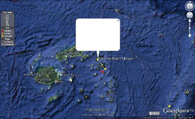
Above image is a 4.5 earthquake on the Fiji Region on 4/11/2013 @ 10:06 p.m. The depth was 528.50 km (328.39 miles). This is located in an oceanic-oceanic boundary. I believe this happened here because older, denser, oceanic plate has sunk beneath the younger less dense oceanic plate. A subduction zone is formed with a deep trench (as you can see).
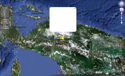
Above image is a 7.0 earthquake in Papua, Indonesia on 4/6/2013 @ 01:42 p.m. The depth was 68.00 km (42.25 miles). This is located on a continental-continental boundary. I believe this happened here because neither place is dense enough to sink into the asthenospehere (as you can see from the mountains that have formed) and then compression has resulted.
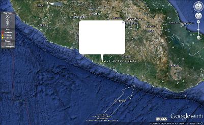
Above image is a 5.4 earthquake in Guerrero, Mexico on 4/5/2013 @ 07:58 p.m. The depth was 24.40 km (15.16 miles). This is located in an oceanic-continental boundary. I believe this happened here because the oceanic plate sinks beneath the continental plate which can create mountains and volcanic activity (as you can see to the left on the image there is a mountainous area which is a volcano).
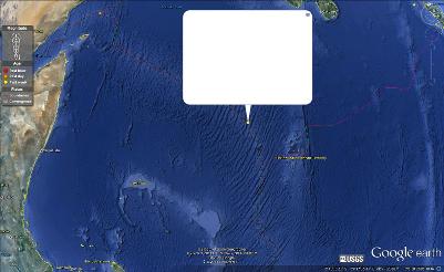
Above image is a 4.9 earthquake on the Carlsberg Ridge on 4/7/2013 @ 11:13 p.m. The depth was 10 km (6.21 miles). This is located on a divergent boundary. I believe this happened here because of spreading. The two plates move away from each other and molten rock rises up to fill the gap. I could tell that this was divergent because of the mid-ocean ridge that you can see on the image (the ripples in the ocean).
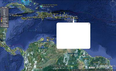
Above image is a 4.0 earthquake in the Antigua & Barbuda region known as the Leeward Islands on 4/9/2013 @ 05:21 p.m. The depth was 55.10 km (34.24 miles). This is located along/near a transform boundary. I believe this happened here because the many plates that are surrounding this area slide past one another and earthquakes are common in this type of area.